| | | | | | | | | | | | | | | | | | | | | | | | | | | | | | | | | | | | | | | | | | | | | | | | | | | | | | | | | | | | | | | | | | | | | | | | | | | | | | | | | | | | | | | | | | | | | | | | | | | | | | |
| |
 | |
|
| |
01. - 04.07.2015 Unsere Brändjiwoche 1
-für den Track anklicken / 02.07. , öffnen: Google-Earth doc.kml-File
Jungpass: Google-Earth doc.kml-File
Fotos: Canon G12, GPS-Daten im Exif |
|
|
| |
| |
|
|
| |
| |
01.07.2015 | |
| | |
|
| | |
|
| |
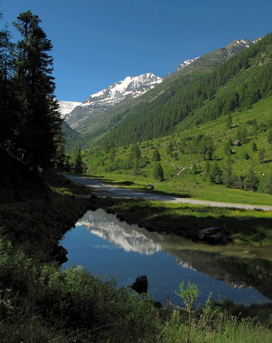
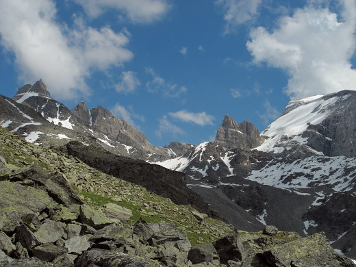
Am Anfang der Sommersaison wollten wir ersteinmal selber aufs Brändji-Oberstafel gehen.
01.07. : Mit dem Bus von Oberems zum Brändji-See
04.07.: Brändji-Oberstafel - Jungpass - Schalb. |
|
|
|
|
|
|
|
|
| |
|
| |
|
|
|
|
|
|
|
|
|
|
|
|
|
|
|
|
|
|
|
|
|
|
|
|
|
|
|
|
|
|
|
|
|
|
|
|
|
|
01.07.15: weniger Schnee, aber grüner,
seit wir Anfang Mai oben waren, anklicken . |
|
| |
|
| |
|
| |
|
|
|
|
|
|
|
|
|
|
|
|
|
|
|
|
|
|
|
|
|
|
|
|
|
|
|
|
|
|
|
|
|
|
|
|
|
|
|
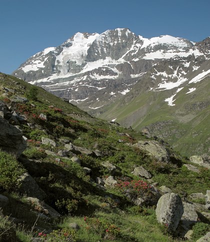
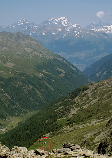
01.07.2015: Nachmittags ins Brändji- und Verloren Tälli . | |
|
| |
| |
|
| |
|
|
|
|
|
|
|
|
|
|
|
|
|
|
|
|
|
|
|
|
|
|
|
|
|
|
|
|
|
|
|
|
|
|
|
|
|
| |
|
|
|
| |
|
|
|
| |
|
|
|
|
|
|
|
|
|
|
|
|
|
|
|
|
|
|
|
|
|
|
|
|
|
|
|
|
|
|
|
|
|
|
|
|
| |
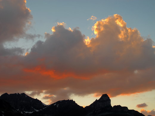
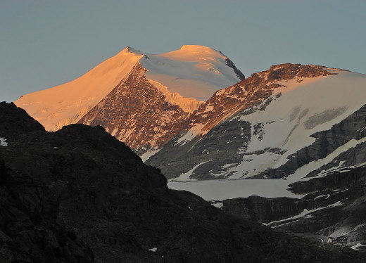
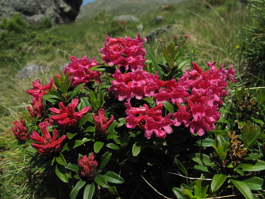
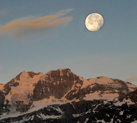
01.07.2015: Brändji-Abend . | |
| |
|
| |
| |
| |
|
|
|
|
|
|
|
|
|
|
|
|
|
|
|
|
|
|
|
|
|
|
|
|
|
|
|
|
|
|
|
|
|
|
|
|
|
| |
|
|
|
| |
|
|
|
|
|
| |
| |
|
|
|
|
|
|
|
|
|
|
|
|
|
|
|
|
|
|
|
|
|
|
|
|
|
|
|
|
|
|
|
|
|
|
|
|
|
|
| |
| |
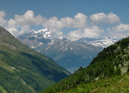
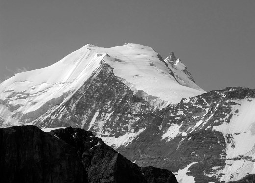
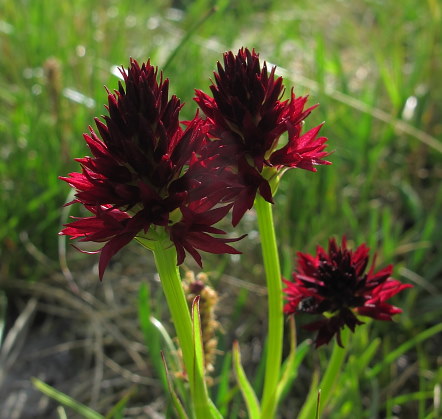
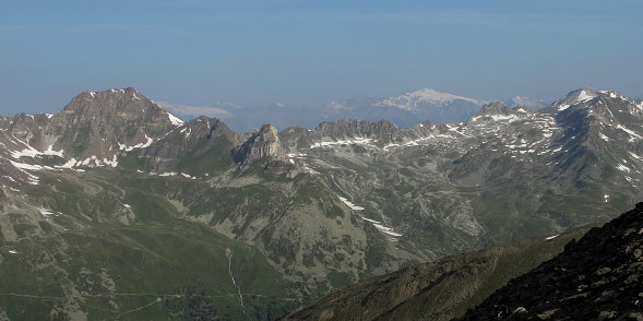
02.07.2015: Zum Sonnenaufgang Richtung Stausee,
später über die Westflanke zum Vorgipfel (2830 m) Längi Egga,
von dort - im Süden Turtmannhütte, im Norden Brändji Oberstafel . |
| |
|
|
|
|
|
| | |
|
| | |
| |
|
|
|
|
|
|
|
|
|
|
|
|
|
|
|
|
|
|
|
|
|
|
|
|
|
|
|
|
|
|
|
|
|
|
|
|
|
|
| |
| |
|
|
|
|
|
|
|
|
|
|
|
|
| |
|
| |
| |
|
|
|
|
|
|
|
|
|
|
|
|
|
|
|
|
|
|
|
|
|
|
|
|
|
|
|
|
|
|
| |
| |
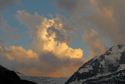
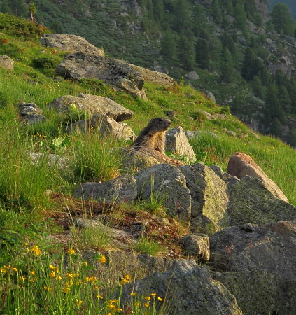
02.07.2015: Die Murmeltiere
und auch wir geniessen die Abendsonne. |
|
|
|
| |
| |
| |
|
|
|
|
| |
|
|
| |
|
|
|
|
|
|
|
|
|
|
|
|
|
|
|
|
|
|
|
|
|
|
|
|
|
|
|
|
|
|
|
| |
|
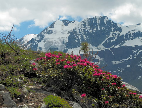
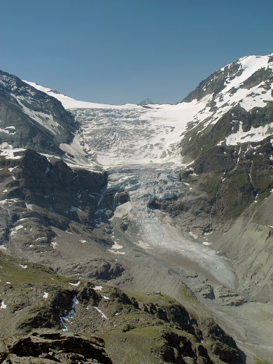
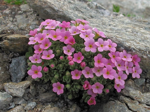
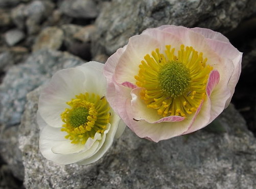
04.07.2015: Am frühen Morgen starte ich zum Jungpass ,
Gletscher Hahnenfuss und Alpen Mannsschild im Aufstieg,
das Moränen-Seelein unter dem Pass. |
| |
|
|
|
|
|
| |
|
| |
|
|
|
|
|
|
|
|
|
|
|
|
|
|
|
|
|
|
|
|
|
|
|
|
|
|
|
|
|
|
|
|
|
|
|
|
|
| |
|
|
| |
|
|
| |
| |
|
|
|
|
|
|
|
|
|
|
|
|
|
|
|
|
|
|
|
|
| |
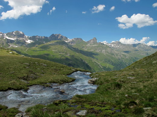
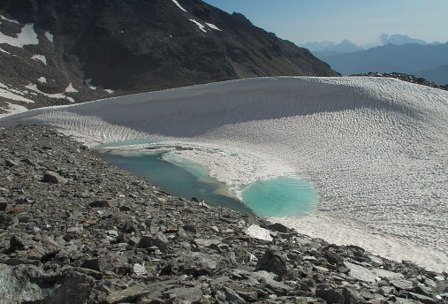
Abstieg vom Jungpass,
(weicher Schnee noch fast bis zum Rinderalpji-See)
zur Jungtal-Alp und weiter hinunter
zum Schalb und nach Embd . |
| |
|
|
|
|
|
|
|
| |
| |
|
|
|
|
| |
Seite in Bearbeitung,
bitte noch Geduld |
| |
|
|